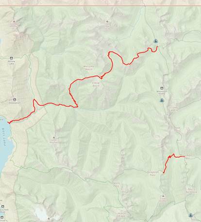
Exit / Entry Points on Section L
1). Castle Pass exit: 20.9 miles on the Castle Pass
Trail east, 6,576 ft of e gain. 10,423 ft down. Call a ferry to Lightning Creek
Boat Camp or take the East Bank Trail south for 15 miles to Highway 20.
2). Holman Pass exit: This offers access to three different trailheads. All are a long haul. I’m not going to get into too much detail here.
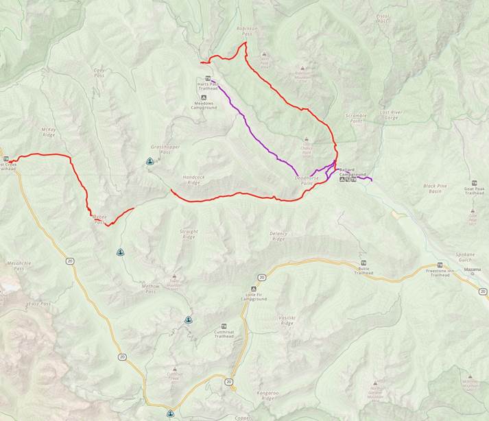
***NOTICE From Slate Pass to Canada there are only two very long exit options. It is 28.4 miles from Slate Pass to the Canadian border. The border is closed so you will need to hike back***
3). Slate Pass exit: If you chose to hike out here,
rather than catch a ride from Harts Pass which is 1.37 miles south, then you
can hike 11.3 miles on the Robinson Pass Cutoff trail down to NF-5400 at
Ballard Campground. Then 2 miles of dirt road until you reach Lost River Road
to Mazama, WA and Highway 20. Note, carefully
navigate the first 6.3 miles from the PCT to the Robinson Trail. It can get confusing.
4). Harts Pass exit: No hiking. This is the
northernmost road access to the PCT. 12.28 miles on a pant-wetting dirt road
accessed from Highway 20 and Mazama, WA.
5). Methow River exit: 8.22 miles all downhill on the
Methow River Trail to NF-5400, then 2.5 miles of dirt road until you reach Lost
River Road to Mazama, WA and Highway 20.
6). Mebee Pass Exit:
9.33 miles 2,772 e gain (4,621 down).
Taking the PCT to Rainy Pass from here is 15.7 miles and 5,037 e gain.
Note, getting off the PCT at Cutthroat Pass makes no
sense because that exit is longer than just hiking the PCT to Rainy Pass and
both routes are all downhill.